It's time to leave our hotel.
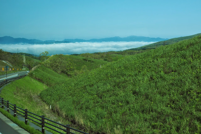
A last look at the Aso Volcanoes ( 阿蘇火山) from afar before making the journey to look at it much closer
The foothills of the volcanoes and the surrounding mountains seemed bathed in a thick apron of white clouds.
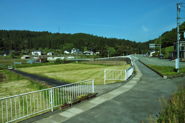
We passed through many fields and ponds.
and various farm houses
The green houses are all neat and tidy
and the pines trees are meticulously planted both sides of the the stream.
everything seems to be well organized.
A pine forest we passed by
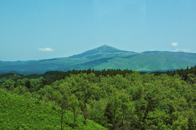
The mountains are all covered in green of various shades
You seldom find different kinds of trees growing side by side. It's almost always trees of the same species.
Some rolling hills
The hills and mountains appear only as different shades of green.
We passed by this plain,
its fields carved into neat rectangles
Some horses grazing on the meadows
Finally we arrived at the meadow below the Aso Volano.
Our first close look at the famous volcano Mount Aso (阿蘇火山) .This is the crater of the still active Mt. Naka ((中嶽) on
the west side of Mount Aso, which occasionally erupts. Its northernmost
crater (the first crater) has been active for the last 70 years (1974,
1979, 1984–1985, 1989–1991and 2011) It can be seen that the surface of the car park is covered in fine dark volcanic dust. The air is thick with the acrid smell of sulphur. The 1592 m Mount Aso (阿蘇火山), the largest active volcano in Japan, also among the largest in the world, forms part of the Aso Kujū National Park in Kumamoto Prefecture (阿蘇九重國立公園). There are a total of five peaks in the group: Mt. Neko (根子岳)(1,408m), Mt. Naka, or Nakadake or Naka-Dake)(中嶽), Mt. Eboshi( 烏帽子岳) (1,337m) and Mt. Kishima(杵島岳 ) (1,207m) and its highest, Mt. Taka (高岳) at 1592 m above sea level. . According to the Wikipedia, the present Aso caldera was formed as a result of four huge caldera eruptions between 90,000–300,000 years ago. Its caldera (the largest in the world) houses the city of Aso as well as Aso Takamori-cho and South Aso-mura. Its "somma" enclosing the caldera extends (E-W) some 18 km and 25 km (N-S). The "ejecta" from the huge caldera eruption 90,800 years ago covers more than 600 km³, roughly the volume of Mount Fuji; and its pyroclastic flow plateau covered half of Kyushu.The fourth volcanic eruption (Aso 4) was the largest, its volcanic ash covering the entire Kyushu region and even extending to Yamaguchi Prefecture (山口県). Mt. Taka, Mt. Naka, Mt. Eboshi, and Mt. Kishima were all formed during this fourth eruption. Today, only Mt. Naka remains active.
From time to time, we found clouds of steam and gas puffing up from various vents at the waist of the volcano of Mt Eboshi. Fortunately the wind was blowing in the direction away from us.
After some minor hiccups, we finally found the restaurant they booked for us. A plate nicely laid out. The food is passable.
After lunch we were given the option of walking closer to the volcano and to take a walk on this prairie of Kusasenrigahama (草千里). We're told by our local guide that there's in fact a service called a "Mount Aso Ropeway" (Asosan Rōpuwei ) which first opened in 1958,
claimed to be the first aerial lift in the world to be built on an
active volcano which theoretically could lift us more than 350 feet up
to the crater, something which might give us a chance to inspect
volcanic activity at
much closer quarters but that unfortunately it's now closed because of
the higher risks of
eruption recently.
There a huge plain in front of us.
In the distance, fumes and gases continue to rise up from the side of the volcano.
The mountain to the left of the active volcano is planted with pines
A good view of the crater
There's a path leading to it
The mountain above the prairie
Looking back at the place where we had our lunch
The path back to where we started
Another view of the other side of the prairie
We're leaving Mount Aso now.
We came to the base of the cable station which would normally take us up to have a closer look at the crater of the Mount Aso. But it's closed now due to risks of eruption.
There's a temple
In front of the temple are some red, white, yellow and green stramers.
The name of the temple with a statue of the Buddha a little distance away
Another view of the temple
Another viewing spot
Some one trying out a horse
A mother giving her twins some snacks. So peaceful, quiet, and free, except for the clothes of course, that it's almost like something from a Manet painting.
Some blue flowers blooming upon the volcanic grit. Not very many flowers there. Perhaps too much sulphur?
An enormous volcanic mud puddle on the other side of the prairie.
another pool
In the distance, we could see the volvanic activity subsiding.
A mountain forming part of the Aso range
This is the 80 meter high Kome Zuka (米塚) at the base of Mt. Kishima(杵島岳 ) another crater forming part of the Aso volcano but it's been dormant for quite some time and now all covered by grass. .
One of our tour group membes rushing to be the first to take photographs of the Aso Volcano from a different perspective
Volcanic rocks, sulphur clumps and crystals for sale at the parking lot
More crystals and fossils
Handwritten signs saying that this is Look-Out Station for viewing the Aso Praisie and the Mt. Eboshi( 烏帽子岳) or the Dark Cap Mountain
The viewing guide to the Aso Volcano
After the brief photo stop, we are on our way again to Kumamoto (熊本市).
A bridge in the new town.


沒有留言:
張貼留言